The Legacy of Ancient Lakes
Mexico City's foundation over five ancient lakes — Texcoco, Xochimilco, Chalco, Xaltocan, and Zumpango, which once covered approximately 580 square miles — continues to shape how the capital experiences earthquakes today. Although Spanish colonizers drained these interconnected bodies of water following the conquest of Tenochtitlán in 1521, with major drainage projects accelerating after devastating floods in 1604, 1607, and particularly 1629 when the city remained submerged for five years, the consequences of that lacustrine past remain profound.
The soil throughout the Mexican capital varies dramatically, prompting authorities to classify the city into distinct zones based on soil characteristics. This seismic zonation system, created after the catastrophic 1985 earthquake that killed between 10,000 and 30,000 people, categorizes areas by their geological composition and seismic response patterns.
Vulnerable Zones and Recent Disasters
Zone II presents particular challenges, characterized by sandy and transitional soils that amplify earthquake motion at the surface. Buildings in these areas face heightened collapse risk if proper civil protection measures are not followed. The Roma, Condesa and Juárez neighborhoods fall within this vulnerable classification, explaining why they sustained extensive structural damage during recent major earthquakes.
The September 19, 2017 earthquake — a magnitude 7.1 event that struck exactly 32 years after the 1985 disaster — killed at least 326 people, including 187 in Mexico City, while toppling dozens of buildings and damaging hundreds more. In that earthquake, 38 mid-rise structures collapsed, with buildings five to eight stories tall proving particularly vulnerable as higher frequency motions resonated with the transitional soil zones beneath them.
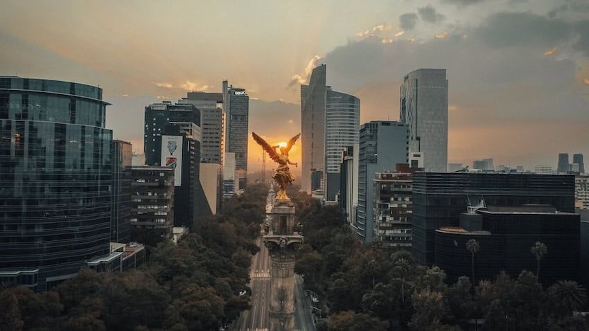
The Cuauhtémoc borough, despite being a major tourist destination that includes the Historic Center and the iconic Roma and Condesa neighborhoods, has historically suffered severe earthquake damage. The Benito Juárez, Coyoacán and Xochimilco boroughs have also experienced significant impacts.
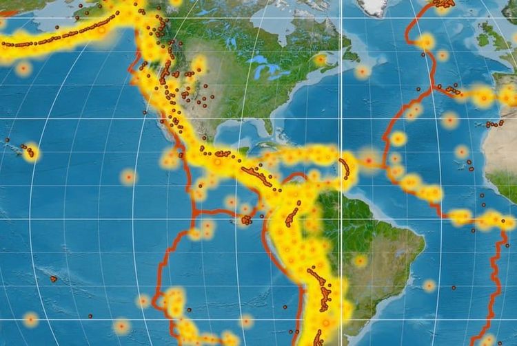
The capital's vulnerability stems partly from its location approximately 350 kilometers from the subduction zone where the largest earthquakes originate. Despite this distance, Mexico City experiences severe shaking due to local amplification of seismic waves in soft lacustrine soils. These clay deposits can contain water content up to 300 percent by weight, with some areas featuring clay layers reaching 60 meters in thickness — characteristics that dramatically intensify ground motion during earthquakes.
Southern Neighborhoods Offer Natural Earthquake Protection
Residents seeking areas where seismic activity registers less intensely should look to the city's southern reaches. Approximately 1,670 years ago, around 245-315 AD, the Xitle volcano erupted in what is now southern Mexico City. The volcanic rock terrain that resulted from this eruption provides a natural advantage, creating stable ground that absorbs much of the seismic shock that devastates other parts of the capital.
Jardines del Pedregal
Jardines del Pedregal stands out as one of the most famous earthquake-resistant neighborhoods. Designed by Diego Rivera and architect Luis Barragán in the 1940s, this affluent area features expansive homes, pavilions and gardens built on volcanic rock terrain. Natural volcanic stone details are integrated into the urban architecture and sometimes into the houses themselves, providing both aesthetic appeal and structural stability during seismic events.
Ciudad Universitaria at UNAM
Ciudad Universitaria at UNAM represents another location where earthquakes barely register. This area features large chunks of volcanic rock embedded in the ground, forming part of the landscape's natural beauty. Ancient trees have grown atop these volcanic formations over the centuries, providing shade across the UNESCO World Heritage-listed campus while residents and students enjoy relative tranquility during earthquakes that shake other parts of the city.
Guadalupe Inn
Guadalupe Inn, known as the "little queen of the south," maintains colonial charm in its homes and businesses while benefiting from earthquake-resistant geology. Established in the mid-20th century on grounds of the former Hacienda de Guadalupe, its streets bear the names of famous Mexican composers and feature beautiful jacaranda trees alongside other species found only in southern Mexico City. The neighborhood's volcanic soil foundation means it typically escapes the worst effects of seismic activity.
San Ángel
San Ángel, the southern zone's crown jewel, combines architectural elegance with geological advantage. This upscale neighborhood features a Baroque church centered on a stone-paved plaza, a magnificent flower market, and cobblestone streets that reflect its colonial village origins. Like its southern neighbors, San Ángel sits on volcanic soil that absorbs seismic impact, making it one of the capital's safest areas during earthquakes.
Understanding Seismic Risk
The pattern of earthquake damage continues to underscore the importance of geological foundation. On September 19, 2022, another major earthquake struck Mexico — a magnitude 7.6 to 7.7 event that marked the third devastating earthquake to occur on September 19 following those in 1985 and 2017. While scientists confirm this date pattern is purely coincidental with no physical or statistical basis, the recurring threat emphasizes why understanding soil-based seismic risk remains crucial for Mexico City residents.
The seismic zonation system divides the capital into categories with different seismic response characteristics: Zone I (hard soil and rock) experiences predominant periods of 0.15 to 1.0 seconds, Zone II (transitional soil) shows periods of 0.7 to 1.5 seconds, and Zone III (soft lacustrine deposits) registers periods ranging from 1.2 to 2.6 seconds or longer. These technical specifications translate directly into real-world safety differences between neighborhoods.
While no area in Mexico City is completely immune to earthquakes, the southern neighborhoods built on Xitle's volcanic legacy offer residents significantly better protection than areas constructed over the ancient lake beds. For those seeking to minimize seismic risk in the capital, understanding these geological differences can mean the difference between riding out an earthquake in relative comfort or facing serious structural danger.